-
 Information
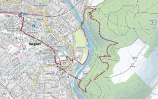
Route Outdooractive: Flüeweg Burgdorf Distance 6.5 km Hiking time 2h Grade easy (hiking trail) Fitness level easy Ascents 221 m Descents 221 m Accessibility not barrier-free -
 How to get there
Public transport
The hike starts at Burgdorf station.
Car
There is public parking available in Burgdorf.
-
Tipp
We recommend bringing a printout of the route just to be sure.
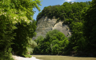
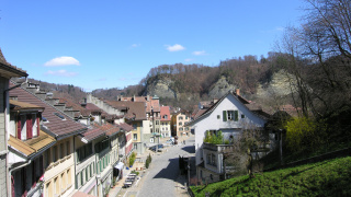
Easy, yet still a bit adventurous: the Flüeweg Burgdorf. You begin at Burgdorf station, where you choose one of the many ways to get down to the river Emme. Once you’ve arrived, you follow the river and then cross Wynigen bridge before taking the zigzag trail up the Waldegghole to the first Flüe (crag), and with that into the Gysnauflüe nature reserve. From here, there’s a beautiful view of the town and castle of Burgdorf. The descent back into town leads through the forest and over small bridges and three more Flües on narrow paths. You will also come across a small chapel, the Bartholomäuskapelle, which used to be the lepers’ place of worship. Then back you go to Burgdorf’s old town, where cozy street cafés await the hungry hikers.
You might also like
-
 Aktivitäten > WandernHiking Tour Worb-LützelflühMore
 -
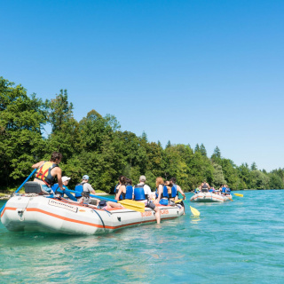 Aktivitäten > Adventure & SportRiver rafting on the AareMore
 -
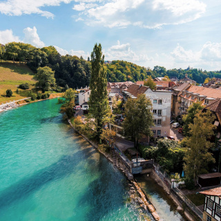 Activitäten > Ausflüge, Sports & Activities, Aktivitäten > WandernGreen Aare WalkMore
 -
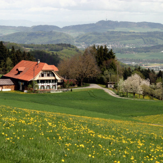 Aktivitäten > Wandern, Aktivitäten > Adventure & SportGürbentaler Höhenwanderweg High-Altitude HikeMore