
-
 Information
Route SchweizMobil Route 4: ViaJacobi, stage 28 (Wanderland) Distance 24 km Hiking time 6 h 20 min Grade easy (hiking trail) Fitness level difficult Ascents 680 m Descents 780 m Accessibility not barrier-free -
 How to get there
Public transport
We recommend taking public transport. You can start the hike either at Huttwil station or at Burgdorf station.
Car
There are public parking spaces at both train stations. However, the number of spaces is limited, which is why we recommend travelling by public transport.
-
Tipp
The hiking trail is marked on the yellow signposts by a green logo with the words “ViaJacobi” and the respective route number – number 4 in this case. Nonetheless, we recommend bringing a printout of the route just to be sure.
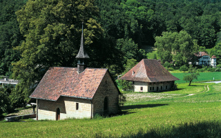
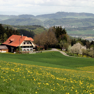
The route begins either at Huttwil station or Burgdorf station. If you start in Huttwil, you will walk through its neighbourhoods and past the town’s sawmill to reach the forest. The trail follows the spruce forest and fertile fields along the sloping hills. After the ascent to Chaltenegg, you continue to Dürrenroth, where you can refill your water bottle at the drinking fountain or stop at one of the inns. If you prefer bringing your own food and drink, we recommend hiking a little further and taking a break at the monument on Lueg: there’s a fire pit and a beautiful view over the Napf region and the Emmental valley, making it the perfect place to enjoy a well-deserved snack. After recharging your batteries, the descent to Burgdorf begins.
-
SchweizMobil: Hiking in Switzerland
You might also like
-
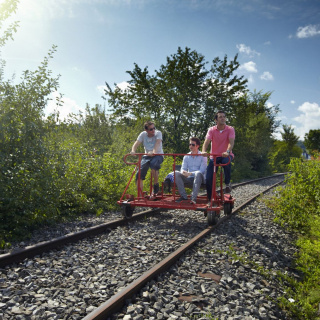 Aktivitäten > Adventure & Sport, Families & Kids, Bern in the fall > Excursions in good weatherRail Bike Ride in LaupenMore
 -
 Aktivitäten > Wandern, Aktivitäten > Adventure & SportGürbentaler Höhenwanderweg High-Altitude HikeMore
 -
 Aktivitäten > Adventure & SportKlettersteig GantrischMore
 -
 Aktivitäten > Adventure & Sport, Meetings & Kongresse > Darum Bern, Meetings & Kongresse > Darum BernAdventure Rooms BernMore